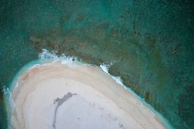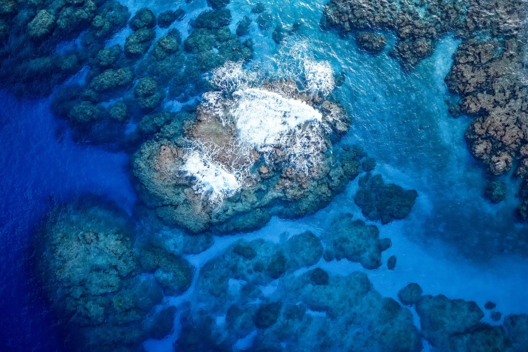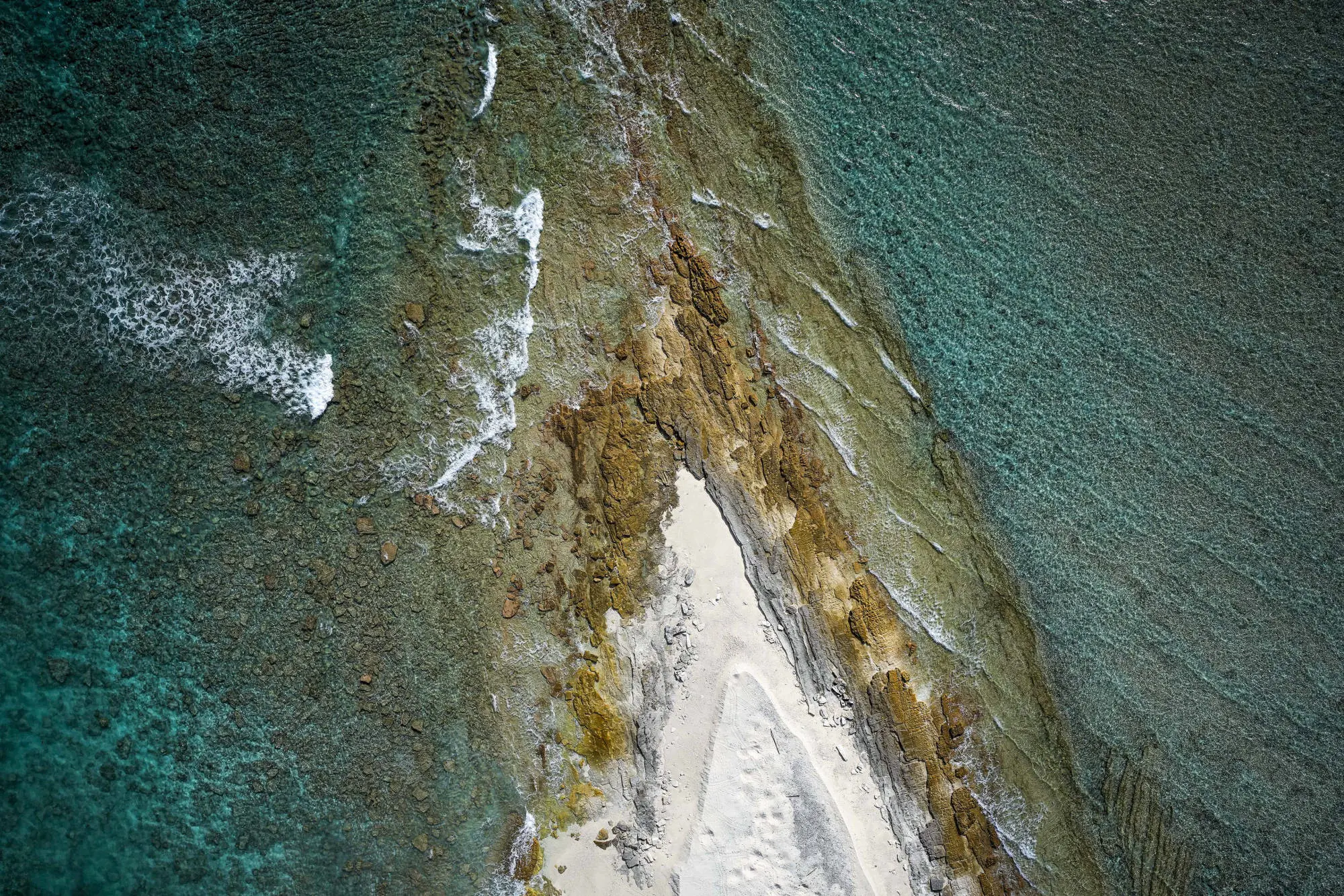
Aerial Survey
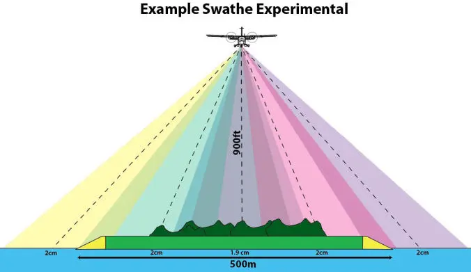
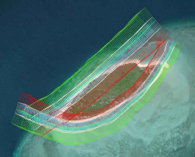
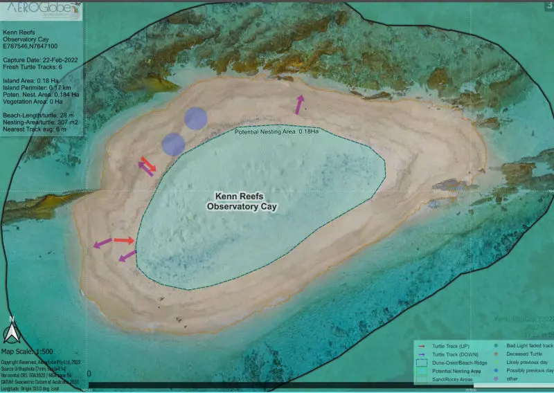
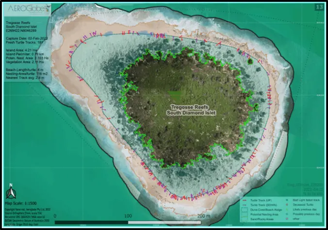
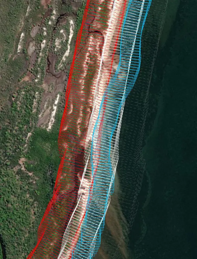
Ultra-high resolution ortho-photomosaics and digital surface models will be used to derive summary mapping products. Following aerial survey, imagery product generation, and track section identification, a set of geospatial processes will be performed using Geographic Information Systems (GIS) software and algorithms.
Reporting Data
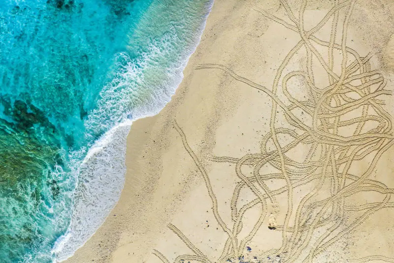
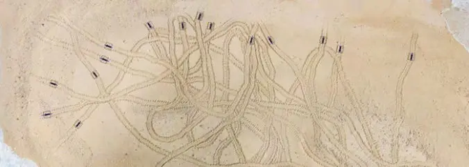
Using marine life identification data, automated track direction and georeferencing will be calculated using the track directionality recorded the operator, and by using the ground slope observed in the Digital Elevation Model (DEM), resulting in establishment if the track was ‘Up-slope’, or ‘Down-slope’
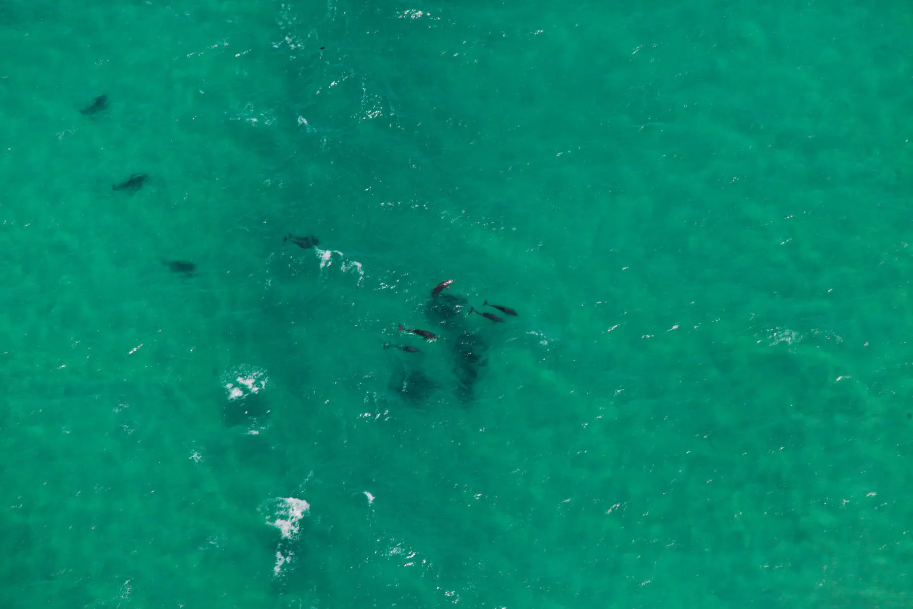
Marine Life Statistics
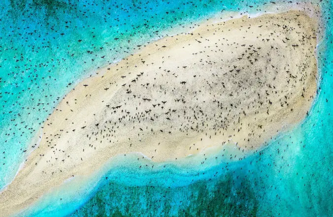
Detailed data reported for each capture will include, area in square metres, date flown, perimeter, quantity of up tracks, quantity of down tracks, sand area, nesting area, nesting area per turtle, beach length per turtle at the berm crest, vegetation area, average and maximum vegetation height, percent of island that is vegetation, and the average near track distance. The statistical variations in density between island and cay features may provide useful insight to help characterise or observe differences in islet geomorphology or turtle behaviours, and also that observation of track clustering may provide insight into nest distribution patterns between similar sites.