
INFRASTRUCTURE AND TERRAIN MAPPING
Runway-construction photogrammetry, volumetric measurement, height measurement and asset capture.
- Client
- Infrastructure programs
- Location
- Queensland
- Period / status
- Selected portfolio experience
Survey scope
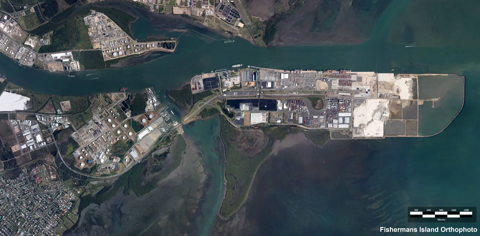
AeroGlobe’s infrastructure experience includes Brisbane Airport and Sunshine Coast Airport runway-construction programs, with volumetric measurement, height measurement and asset capture.
Aerial survey products include orthomosaics, digital surface and terrain models, point clouds, construction-progress imagery and geospatial outputs for project workflows.
Data and deliverables
- Orthomosaics and surface models
- Height and volumetric measurements
- Point clouds and GIS data
 View image +
Contact AeroGlobe
Ask a question or request a quote for aerial survey, mapping or environmental analysis.