
CORAL SEA BIRD AND TURTLE SURVEYS
Aerial photogrammetry, seabird and HPAI surveillance, turtle-track analysis, and island mapping.

- Client
- Parks Australia
- Location
- Coral Sea Marine Park
- Period / status
- 2026 survey complete
Survey scope
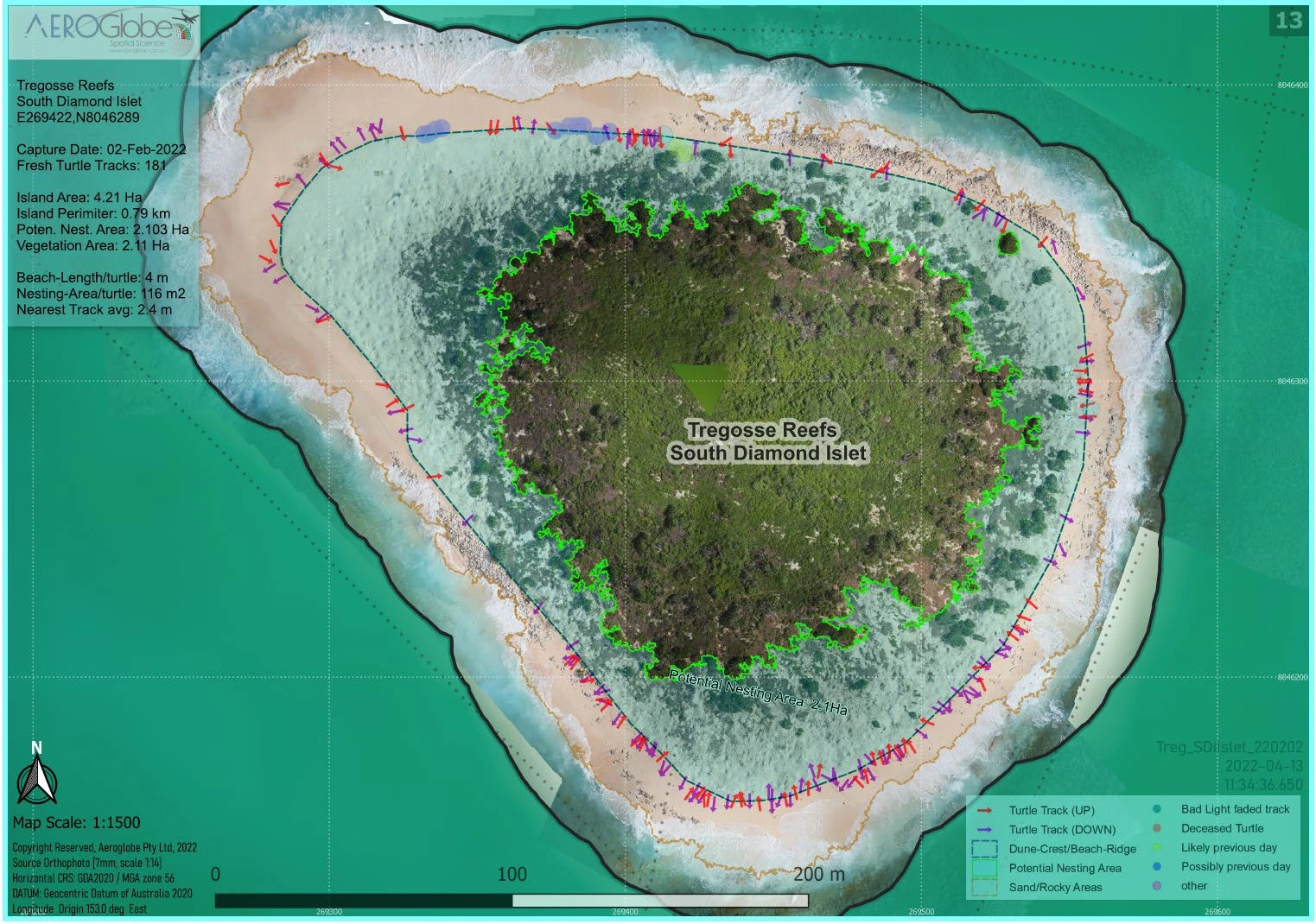
The 2026 campaign adds a third time point to the 2025 Coral Sea monitoring program, with aerial coverage of central and southern cays and islets. The work examines bird abundance, species, health and possible HPAI signs alongside turtle activity and island condition.
The program combines high-resolution aerial photogrammetry, species-level image review, bird counting, turtle-track interpretation, orthomosaic production and comparative ecological analysis. Earlier Coral Sea work includes turtle orthomosaic mapping and track analysis in 2022 and 2023.
Data and deliverables
- Bird counts and health observations
- High-resolution imagery and Cloud Optimised GeoTIFFs
- Turtle, vegetation and island statistics
- PDF maps and island-health reporting
 View image +
SEABIRD DETECTION & REVIEW
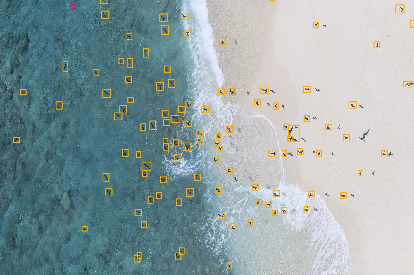
High-resolution aerial imagery is processed to locate candidate birds for review. Detection boxes keep each observation connected to the colony imagery.
 View image +
DETAIL AT DIFFERENT RESOLUTIONS
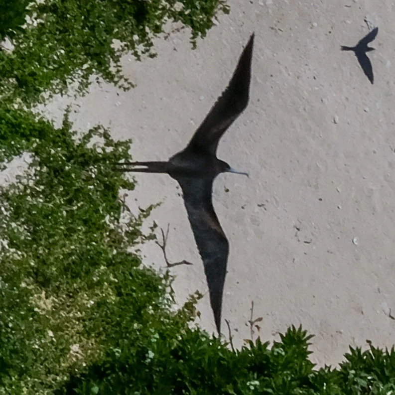
Bird imagery at 7, 28 and 40 mm ground sample distance (GSD).
 View image +
 View image +
 View image +
Ground sample distance is the size of one image pixel on the ground. The examples show how the detail available for species identification changes with image resolution.
Contact AeroGlobe
Ask a question or request a quote for aerial survey, mapping or environmental analysis.