
ASHMORE REEF AND CARTIER ISLAND
Bird, turtle and dugong survey, aerial photogrammetry, habitat mapping and HPAI surveillance.

- Client
- Parks Australia
- Location
- Ashmore Reef and Cartier Island marine parks
- Period / status
- 2026 survey complete
Survey scope
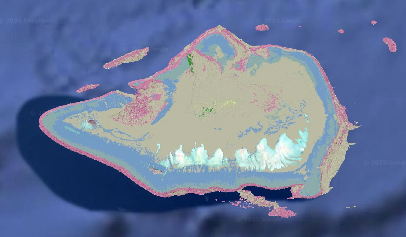
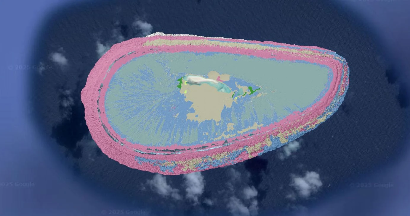
The survey establishes a high-resolution baseline for bird-flu surveillance and ecological monitoring of birds, turtles, marine megafauna, vegetation, geomorphology and marine debris.
The program includes aerial photogrammetry, AI-assisted bird analysis with human review, turtle-track observations and a dedicated marine-megafauna survey. Mapping products bring imagery, terrain, vegetation and wildlife observations into a common spatial framework.
Data and deliverables
- Cloud Optimised GeoTIFF orthomosaics
- Bird and wildlife observations and turtle-track vectors
- DSM / DTM and vegetation analysis
- GeoPDF maps, source imagery, metadata and analytical reporting
 View image +
 View image +
Contact AeroGlobe
Ask a question or request a quote for aerial survey, mapping or environmental analysis.